Demonstration
Survey records, published.
Every survey is entered in the state’s cultural resource inventory, as the historic preservation office requires. Most end there, with a short essay report. Deepwell goes further: every resource stands on its own, with its photographs, description, history and evaluation, and the whole set is drawn together in maps, an atlas and a report.
Residential district
133 houses · 15 survey maps · 119 streetscape photographs
The evidence. One record for every house. The maps, the atlas and the report are all drawn from these records, and each leads back to them.
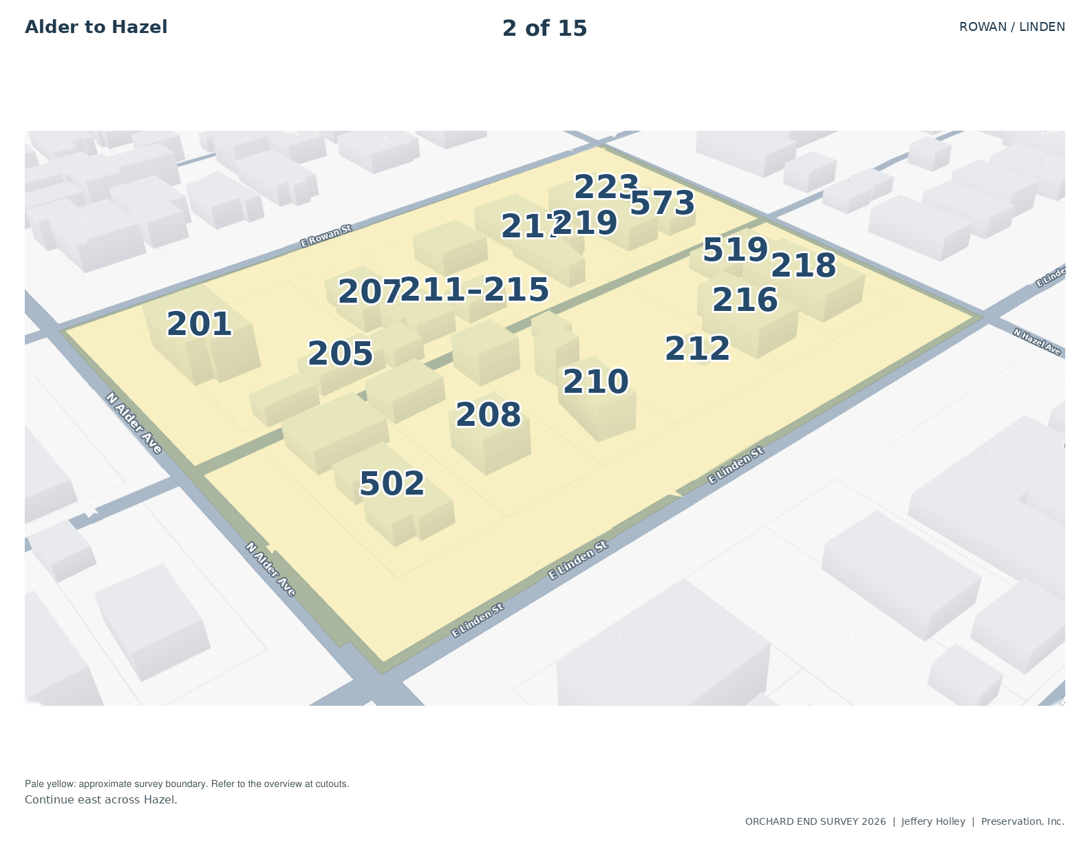
The district. The records read together, beside the street itself: where the district holds together, and where it has changed.
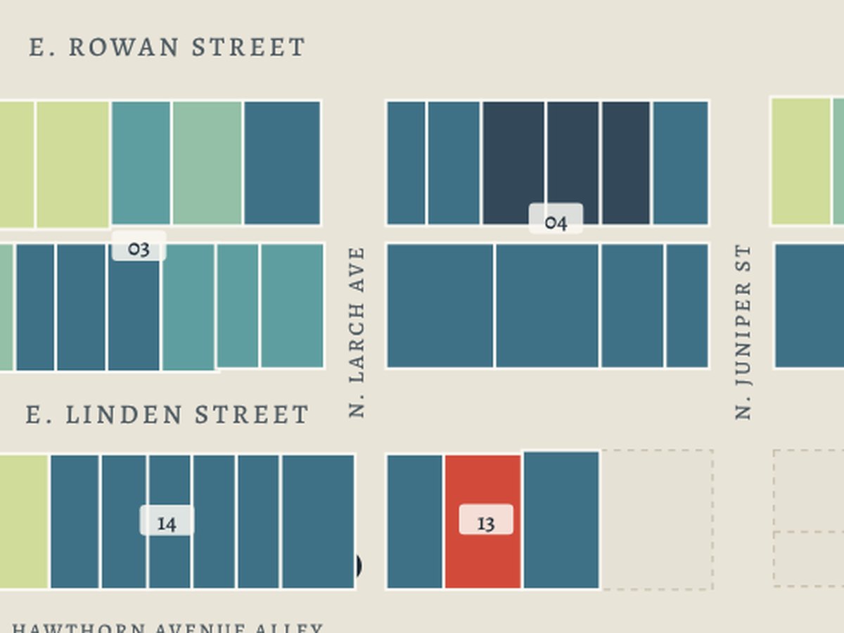
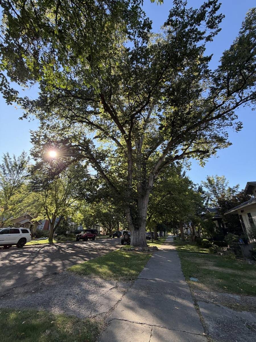
The case. The findings, set out for the people who decide and the people who live there: a commission, a council, a grant, a neighbourhood meeting.
School district
3 buildings · 506 field photographs
The evidence. One record for each building, illustrated in plates from the fieldwork.
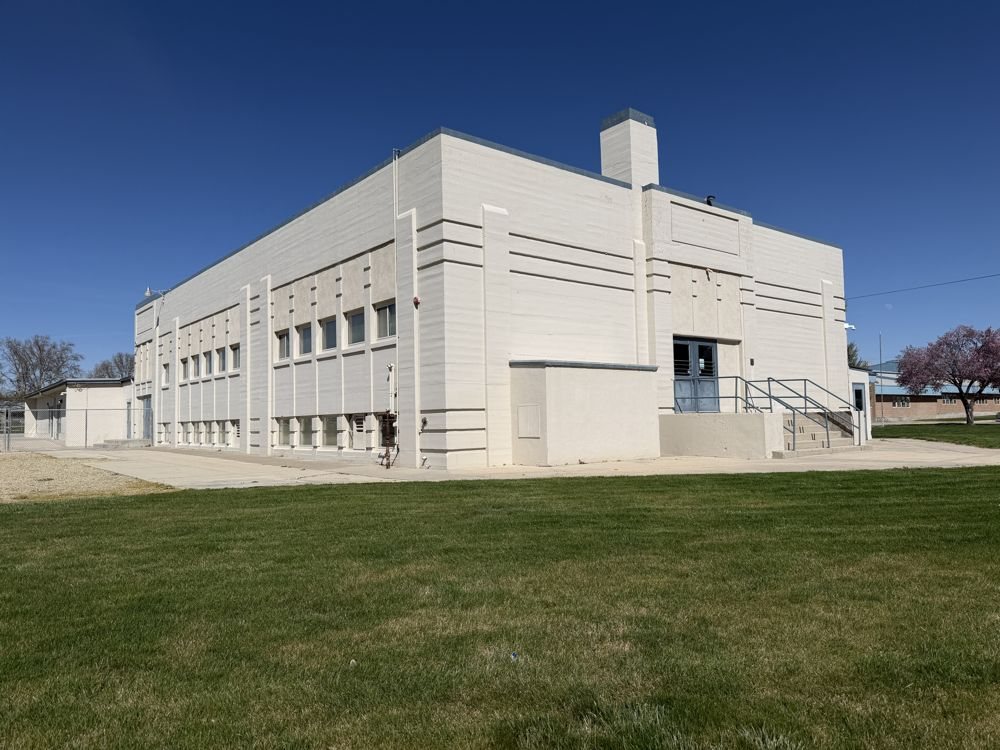
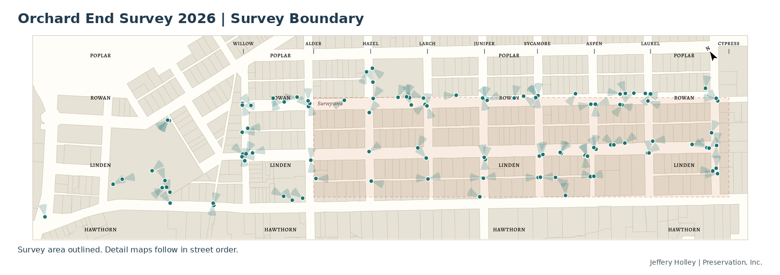
The ground. Every photograph taken in the field, placed on the campus. The plates in each record, and everything around them.
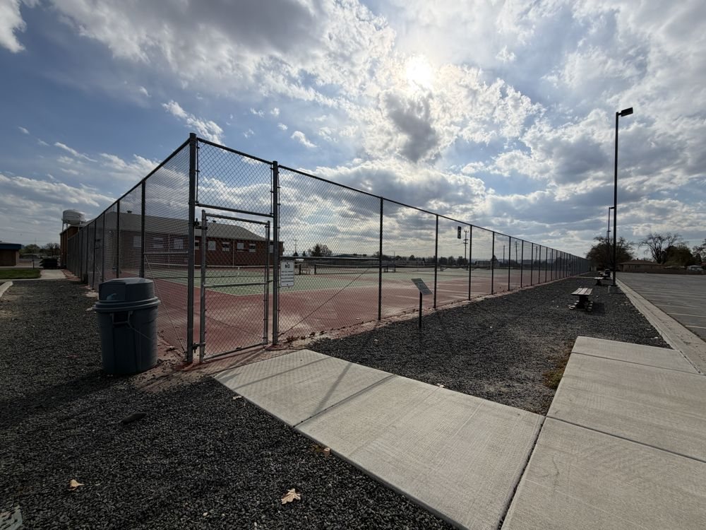
Real buildings, shown under fictional addresses, street and place names. The official record of each survey is held by the state inventory.